The Kamal: Ancient Navigation Tool of Gulf Mariners
Discover the kamal, the simple yet ingenious navigation tool used by Gulf mariners for centuries to measure latitude at sea.
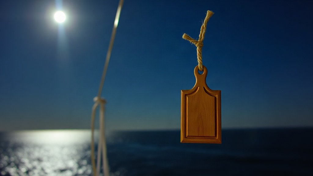
Illustration: AI-generated image
The kamal is one of the most elegant tools ever devised by Gulf mariners. A simple wooden rectangle attached to a knotted string, it allowed sailors to measure their latitude with remarkable accuracy long before modern instruments existed. For centuries, it guided dhows across the Indian Ocean and remains a proud symbol of Arab navigation.
A Simple Yet Ingenious Tool
The kamal consists of a small rectangular piece of wood, often around five by six centimetres, with a string tied through its centre. The string is marked with a series of knots, each corresponding to a known latitude. To use the kamal, a navigator would hold the string in his teeth or at a fixed point on his nose, extend the board along the string until it just covered the distance between the horizon and the North Star (or another reference star), and note which knot aligned with the board. That knot indicated the ship's latitude.
How the Kamal Works
The principle behind the kamal is based on the apparent size of an object at arm's length. By adjusting the distance of the board from the eye, the navigator could make the board's upper edge touch the star and its lower edge touch the horizon. The ratio of the board height to the string length gives the angular altitude, which translates directly to latitude. Because the Gulf's navigators sailed primarily north-south along the coast and across the Indian Ocean, knowing latitude was enough for most voyages.
Different knots on the string corresponded to different latitudes of key ports and landmarks. A navigator would memorise which knot to use for each destination, often passing this knowledge down through oral tradition. The kamal was inexpensive to make, easy to use in rough seas, and could be operated even in darkness because it relied on feel as much as sight.
A Legacy of Maritime Mastery
The kamal is deeply woven into the maritime heritage of the Gulf. It is frequently mentioned in Arabic navigational treatises and was used alongside other instruments like the astrolabe. The tool enabled long-distance trade routes that connected the Arabian Peninsula with East Africa, India, and beyond, carrying dates, pearls, and spices across the seas.
Today, the kamal is preserved in museums and cultural centres across the Gulf, often displayed alongside models of dhows and pearl-diving equipment. It serves as a reminder of a time when Arab navigators were among the world's most skilled, reading the stars and the sea with nothing more than a piece of wood and a string.
Why the Kamal Still Matters
Beyond its historical importance, the kamal represents a philosophy of simplicity and ingenuity. In an age of GPS and digital charts, it invites us to appreciate the knowledge and observation skills of earlier generations. Many cultural festivals and heritage events in the Gulf include demonstrations of traditional navigation, allowing visitors to try using a kamal themselves and feel a connection to the sailors of old.
Whether you are a history enthusiast, a lover of the sea, or simply curious about the Gulf's cultural roots, the kamal offers a fascinating window into a time when the stars were the only map. Its legacy lives on not only in museum cases but in the enduring spirit of exploration that defines the region.